Pedestrian Impact Assessment

This project builds a high-resolution model of pedestrian activity within a city, offering a novel framework to evaluate how planned urban development projects or public space improvements are likely to impact the volume and spatial distribution of pedestrian activity around them, while also highlighting who benefits from such investments. We seek to expand the development review process in cities from its historic emphasis on motorized traffic to include and prioritize walkability and pedestrian well-being, thereby promoting more sustainable and just urban environments.

We shape our buildings, but do they then shape us?

Cities are increasingly promoting walkability to tackle climate change, improve urban quality of life, and address socioeconomic inequities that auto-oriented development tends to exacerbate, prompting a need for predictive pedestrian flow models. This paper implements a novel network-based pedestrian flow model at a property-level resolution in the City of Melbourne. Data on Melbourne’s urban form, land-uses, amenities, and pedestrian walkways as well as weather conditions are used to predict pedestrian flows between different land-use pairs, which are subsequently calibrated against hourly observed pedestrian counts from automated sensors. Calibration allows the model extrapolate pedestrian flows on all streets throughout the city center based on reliable baseline observations, and to forecast how new development projects will change existing pedestrian flows. Longitudinal data availability also allows us to validate how accurate such predictions are by comparing model results to actual pedestrian counts observed in following years. Updating the built-environment data annually, we (1) test the accuracy of different calibration techniques for predicting foot-traffic on the city’s streets in subsequent years; (2) assess how changes in the built environment affect changes in foot-traffic; (3) analyze which pedestrian origin-destination flows explain observed foot-traffic during three peak weekday periods; and (4) assess the stability of model predictions over time. We find that annual changes in the built environment have a significant and measurable impact on the spatial distribution of Melbourne’s pedestrian flows. We hope this novel framework can be used by planners to implement “pedestrian impact assessments” for newly planned developments, which can complement traditional vehicular “traffic impact assessments”.

https://doi.org/10.1371/journal.pone.0257534
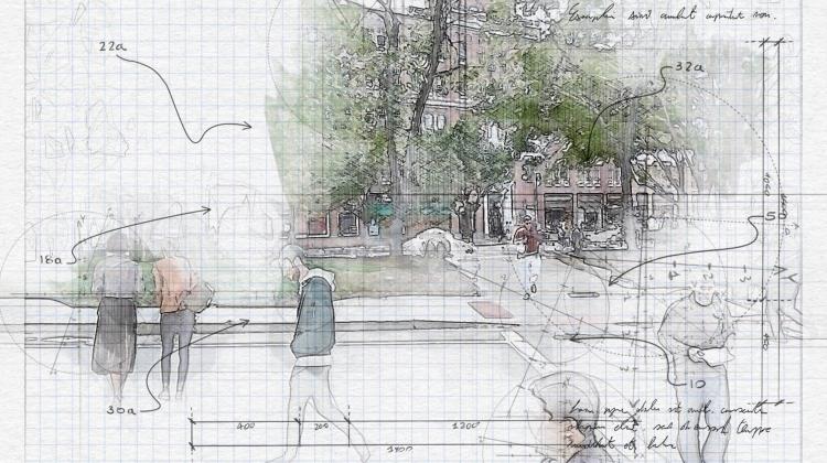
Estimating Pedestrian Flows on Street Networks

City governments and planners alike commonly seek to increase pedestrian activity on city streets as part of broader sustainability, community building, and economic development strategies. Though walkability has received ample attention in planning literature, most planners still lack practical methods for predicting how development proposals could affect pedestrian activity on specific streets or public spaces at different times of the day. Cities typically require traffic impact assessments (TIAs) but not pedestrian impact assessments. In this study I present a methodology for estimating pedestrian trip generation and distribution between detailed origins and destinations in both existing and proposed built environments. Using the betweenness index from network analysis, I introduce a number of methodological improvements that allow the index to model pedestrian trips with parameters and constraints to account for pedestrian behavior in different settings. I demonstrate its application in the Kendall Square area of Cambridge (MA), where estimated foot traffic is compared during lunch and evening peak periods with observed pedestrian counts.

https://doi.org/10.1080/01944363.2020.1864758